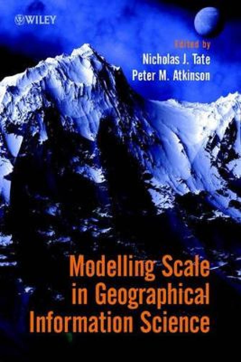
"...a worthwhile addition to libraries..." (The Photogrammetric Record, October 2002) <p>"...this is an excellent book with comprehensive technical content and flowing textbook style of writing. ... valuable reading. (Environment & Planning B: (Planning & Design), (No. 30/1 2003)</p>
Divided into three sections to give a balanced coverage of the key problems, tools and models associated with scale:
* Fractal Models
* The Modifiable Areal Unit Problem
* Changing the Scale of Measurement
This book is an essential read for all GIScience researchers, advanced students and practitioners who want to delve more deeply into the scale issues of the spatial data and spatial models that form the basis of their analyses.
Foreword (Michael Batty).
Preface.
INTRODUCTION.
Models of Scale and Scales of Modelling (Michael F. Goodchild).
PART 1: FRACTAL MODELS.
Fractal Characterization of Multitemporal Remote Sensing Data (Dale A. Quattrochi, et al.).
Fractals and Scale Dependencies in Topography (Nicholas J. Tate and Jo Wood).
Measuring the 'Urban':Measuring and Modelling a Regional Settlement Hierarchy (Victor Mesev and Paul A. Longley).
The Multifractal Structure of the Human Population Distribution (Iqbal Adjali and Stephen Appleby).
PART 2: THE MODIFIABLE AREAL UNIT PROBLEM.
Behaviour of Regression Models under Random Aggregation (Robin Flowerdew et al).
Using Local Census Data to Investigate Scale Effects (Mark Tranmer and David Steel).
Scale Issues and Geographically Weighted Regression (A. Stewart Fotheringham, et al.).
Zone Design as a Spatial Analysis Tool (Seraphim Alvanides, et al.).
PART 3: CHANGING THE SCALE OF MEASUREMENT.
Measuring Scale Effects caused by Map Generalization and the Importance of Displacement (Elsa M. Joao).
Modelling Wildlife Distribution from Multi-Scale Spatial Data with GIS (Richard J. Aspinall).
Determining the Spatial Scale of Variation in Environmental Properties using the Variogram (Margaret A. Oliver).
Scaling Up and Scaling Down: The Relevance of the Support Effect on Remote Sensing of Vegetation (Jennifer L. Dungan).
Geostatistical Regularization in Remote Sensing (Peter M. Atkinson).
CONCLUSION.
Five Key Recommendations for GI Science (Peter M. Atkinson and Nicholas J. Tate).
Index.
This book is split into three sections to give a balanced coverage of the key problems, tools and models associated with scale. Part 1 considers the fractal model of spatial variation. Fractals are mathematical models of spatial variation which are independent of scale. Part 2 addresses the modifiable areal unit problem (MAUP), which continues to be the scale issue for census data. The MAUP is comprised of two component problems: a scaling problem and a zonation problem and is intrinsic to the spatial analysis of census-type data in which the areal units vary from place to place in size, shape and orientation. The concepts of changing scale and regularization are covered in Part 3. The emphasis here is upon the tools of geostatistics (for continuous field data) and generalization (for vector models) which are used to change the scale of measurement.
This book is an essential read for all GIScience researchers, advanced students and practitioners who want to delve more deeply into the scale issues of the spatial data and spatial models that form the basis of their analyses.
Produktdetaljer
Om bidragsyterne
Nicholas Tate is the editor of Modelling Scale in Geographical Information Science, published by Wiley. Peter M. Atkinson is the editor of Modelling Scale in Geographical Information Science, published by Wiley.

