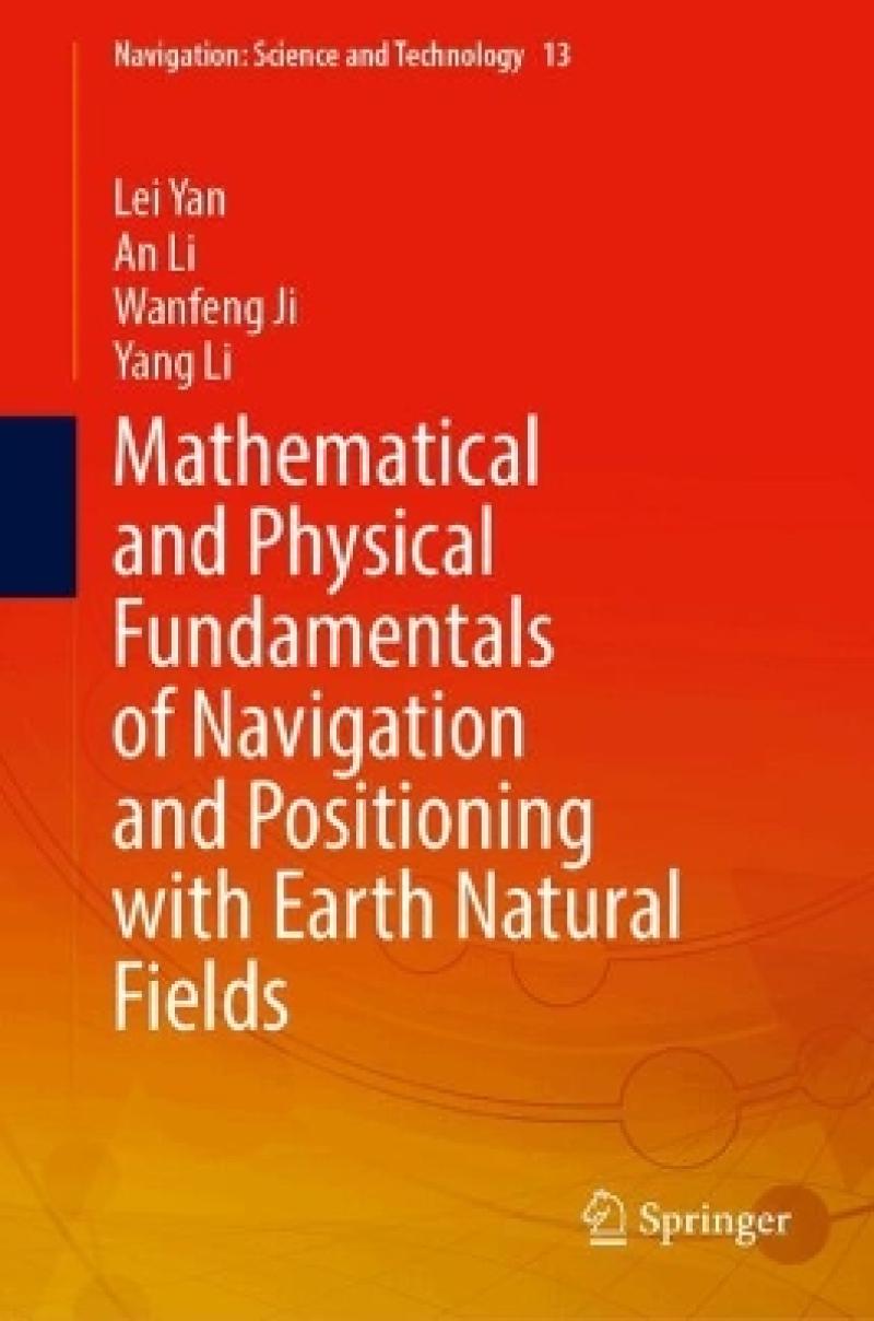
This book covers various fields relevant to navigation, including Earth's magnetic field, gravity field, topography, celestial polarization field, electrostatic field, and relativistic celestial field effects. It introduces the principles and applications of navigation positioning using various natural field navigation and terrain-assisted methods, including gravity field navigation positioning, geomagnetic field navigation positioning, terrain-assisted navigation positioning, polarization field navigation positioning, electrostatic field navigation positioning, and relativistic effect verification.
This book comprehensively introduces the algorithm principles and engineering implementation approaches, providing basic theoretical support for precision navigation positioning and deep space exploration. Based on the principles of gravity, geomagnetic, and terrain-assisted navigation positioning, corresponding to the universal gravitational force and Earth's rotation in Newtonian mechanics, it combines polarization field navigation positioning with the energy field effect of solar incident light waves, as well as electrostatic field navigation positioning with relativistic effect verification. This forms a relatively complete theoretical technical system and abstracts the mathematical essence of each link in the geomagnetic, gravity, and terrain navigation positioning systems. Taking mechanism exploration and algorithm implementation as the basic approach, it has confirmed the theoretical correctness and practical feasibility of natural field navigation positioning through verification with actual measurement data.
This book is mainly targeted at professionals, researchers, students, and readers interested in deep space, deep Earth, deep sea, and polar exploration, as well as those working in the field of navigation positioning. It is of reference value in deep space, deep Earth, and deep sea exploration.
Introduction.- The basis and theoretical model of earth gravity field navigation and positioning.- Navigation and positioning method of earth gravity field.- Fundamentals and Theoretical Models of the Geomagnetic Navigation and Positioning.
This book covers various fields relevant to navigation, including Earth's magnetic field, gravity field, topography, celestial polarization field, electrostatic field, and relativistic celestial field effects. It introduces the principles and applications of navigation positioning using various natural field navigation and terrain-assisted methods, including gravity field navigation positioning, geomagnetic field navigation positioning, terrain-assisted navigation positioning, polarization field navigation positioning, electrostatic field navigation positioning, and relativistic effect verification.
This book comprehensively introduces the algorithm principles and engineering implementation approaches, providing basic theoretical support for precision navigation positioning and deep space exploration. Based on the principles of gravity, geomagnetic, and terrain-assisted navigation positioning, corresponding to the universal gravitational force and Earth's rotation in Newtonian mechanics, it combines polarization field navigation positioning with the energy field effect of solar incident light waves, as well as electrostatic field navigation positioning with relativistic effect verification. This forms a relatively complete theoretical technical system and abstracts the mathematical essence of each link in the geomagnetic, gravity, and terrain navigation positioning systems. Taking mechanism exploration and algorithm implementation as the basic approach, it has confirmed the theoretical correctness and practical feasibility of natural field navigation positioning through verification with actual measurement data.
This book is mainly targeted at professionals, researchers, students, and readers interested in deep space, deep Earth, deep sea, and polar exploration, as well as those working in the field of navigation positioning. It is of reference value in deep space, deep Earth, and deep sea exploration.
Produktdetaljer
Om bidragsyterne
Yan Lei is now a second-level professor and doctoral supervisor at the School of Earth and Space Sciences, Peking University. He is a foreign member of the Russian Academy of Natural Sciences and the chairman of the Expert Steering Committee of the International Journal of Remote Sensing. He successively served as a director of Beijing Key Laboratory of Spatial Information Integration and 3S Engineering Application and a deputy director of Academic Committee. He has published more than 310 research papers, more than 70 have been indexed by SCI/EI data, and more than 20 invention patents have been obtained. He has published ten monographs.
Li An is a major general professor and doctoral supervisor of Navigation Engineering Department at Naval University of Engineering. He has been engaged in the teaching and research of inertial navigation system and technology for a long time and has high attainments in the fault diagnosis, damping technology, fast alignment and error correction of inertial navigation system. He has won a third prize of national invention, 10 second prizes of military (provincial) science and technology progress, 2 first prizes and 3 second prizes of military teaching achievements, and published more than 80 papers and 3 monographs.
Wanfeng Ji is an associate professor. He is now an associate professor at the Naval Aeronautical University. He has been engaged in teaching and research work in the field of ship positioning and navigation for a long time and has achieved fruitful results in ship navigation support and aircraft route planning. He has won a second prize and a third prize of military (provincial) scientific and technological progress, a third prize of military theory outstanding achievements, and published more than 30 papers and 3 monographs.
Yang Li is a doctor. He is now a lecturer in the Department of Navigation Engineering at Naval University of Engineering. He received his Doctor degree of Optics Engineering from Huazhong University of Science and Technology in 2022. He is mainly engaged in the teaching and research work of laser technology and cold atom interference gravity measurement. He has published more than 20 papers, 14 have been indexed by SCI/EI data, and 3 invention patents have been obtained.

